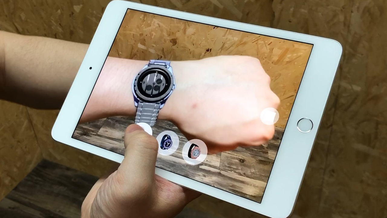
Extended Reality (XR)
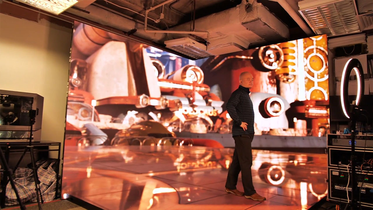
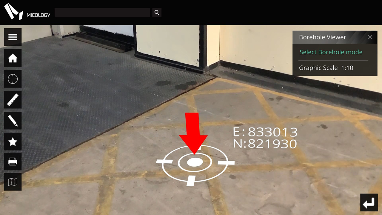
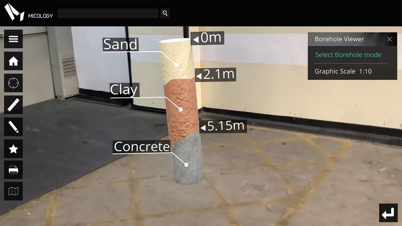
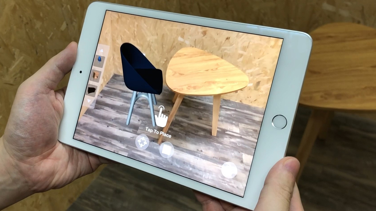
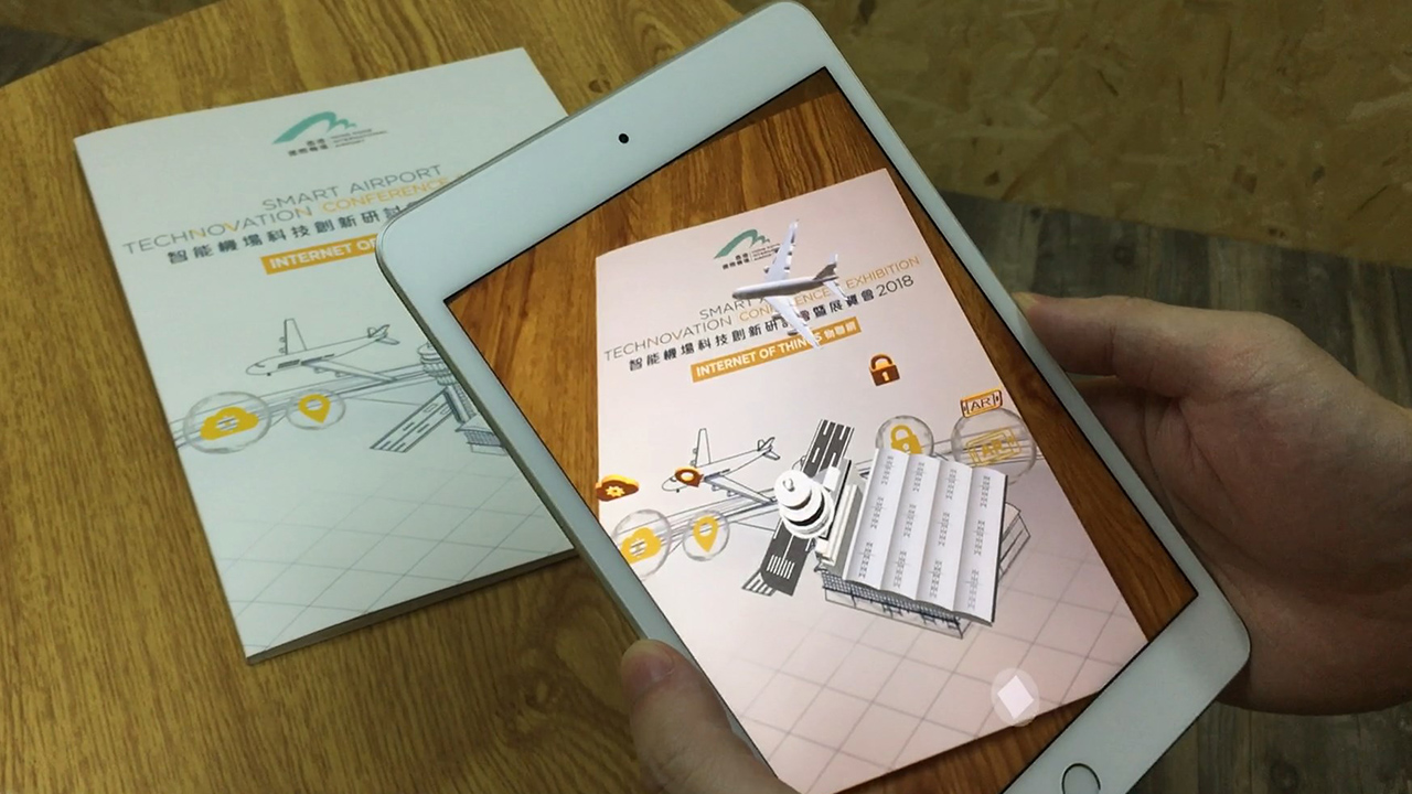
Extended Reality (XR) is a groundbreaking technological advancement that seamlessly merges the virtual and physical worlds, redefining how we perceive and interact with digital content. Our company has taken a proactive approach to harnessing the power of XR technology by developing our own XR system without relying on third-party solutions. This bespoke approach allows us to tailor the system to our specific needs, ensuring optimal performance, seamless integration with our workflows, and complete control over the user experience.